
Operation Manual

72
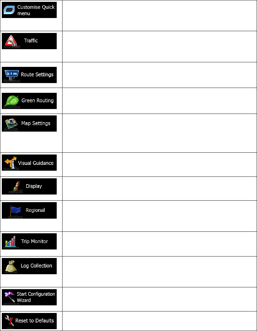
The content of the Quick menu (page 20) is fully customisable. Tap
the button yo
u want to change, and select its new function from the
list.
The recommended route is not always the same between two points.
Whenever suitable data exists, traffic information can be taken into
account in the route calculation.
These settings determine how routes will be calculated. Select the
type of vehicle you are driving, the road types used in route planning,
and the route planning method.
These settings determine how Green routes will be calculated. They
are also used to display the cost and CO
2
emission of routes.
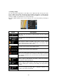
You can fine-tune the appearance of the Map screen. Adjust the map
view to your needs, choose suitable colour themes from the list for
both daytime and night use, change the blue arrow to a 3D car model,
show or suppress 3D buildings, turn track logging on or off, and
manage you Place visibility sets (which Places to show on the map).
A
djust how the software helps you navigate with different kinds of
route related information on the Map screen.
Display related settings include menu animations, separate skins for
daytime and night use and the brightness of the display.
These settings allow you to customise the application for your local
language, measurement units, time and date settings and formats, as
well as to choose the time zone.
Trip logs and track logs contain useful information about your trips.
Trip logs can be saved manually when you reach your destination or
you can turn on the automatic saving here.
The application collects usage information and GPS logs that may be
used for improving the application and the quality and coverage of
maps. Here you can enable or disable collecting these logs.
Modify the basic software parameters set during the initial setup
process. For details, see page 7.
Delete all saved data and reset all settings to their factory defaults.