
User's Guide


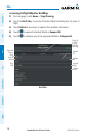
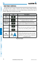
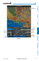
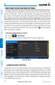
Table Of Contents
- Overview
- Plan
- File
- Fly
- Subscriptions
- Appendix A: License Agreement and Warranty
Garmin Pilot for iOS User’s Guide
190-01501-00 Rev. N
132
Fly
OverviewPlanFileFlySubscriptionsAppendicesIndex
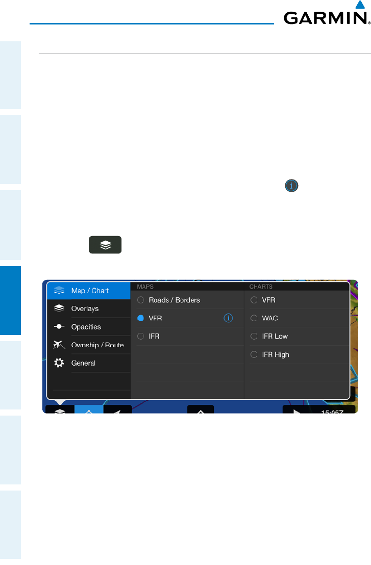
MAP/CHART SELECTION AND SETTINGS
The following charts are available for viewing in the map area: Sectional TAC, WAC,
IFR Low, and IFR High. Charts are high-resolution color images that resemble the
paper version of the National Aeronautical Navigation Products (AeroNav) published
charts. Maps are available in three different themes, Roads/Borders, VFR, and IFR. The
Roads/Borders Map is a very basic map showing major roads, bodies of water, boarders
and Flight Plan information. The VFR themed map is similar to a VFR sectional chart,
showing map information pertinent to VFR navigation. The IFR themed map is similar
to an IFR area chart, showing map information that is pertinent to IFR flight. Each map
theme can be customized and saved for future use by touching icon that appears
when a map theme is selected.
Selecting a Map Theme or Chart:
1)
Touch > Map/Chart.
2)
Touch the radio button or Map/Chart title to select a Map/Chart.
Map/Chart Menu
ADVANCED MAP SETTINGS
Map Themes can be customized renamed, and saved for future use. The Advanced
Map Settings menu provides general settings for Topography (Off, Shade, or On), Map
Color (White, Green, or Brown), Map Type (IFR, or VFR), Map Name and display range
settings for Airports (including SafeTaxi display range), Nav Aids, Airspaces and Cities.
When Topography is On the map color is based on topography, but topography shading
can be added to any map color.