
GPS Navigation Receiver User's Guide
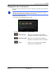
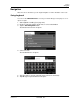
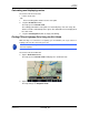
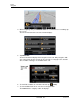
Table Of Contents
- End User License Agreement (EULA)
- Contents
- Introduction
- Welcome
- Getting Started
- Basic Operations
- Starting the NAVIGON 8100T
- Viewing device status
- Using Keyboards
- Using menus
- Security
- DirectHelp
- Using Voice Destination Entry
- Destination Selection
- Using auto-complete to select a destination
- The Search Area Tab
- Search Areas
- Ways to Search for Destinations
- Entering an address
- Selecting a Point of Interest (POI) destination
- Selecting a Direct Access POI
- Searching for POIs Near a Selected Location
- Selecting a destination by tapping the map
- Starting navigation
- Arriving at your destination
- ZAGAT POIs
- My Destinations
- Routes
- Maps
- NAVIGON Lifetime Traffic
- Hands-Free Operation (Bluetooth)
- Logbook
- Customization
- Legal Notices
- Technical Data
- Index
Routes
Navigation
December 2008 NAVIGON 8100T User’s Guide 99
Version 1.1 NAVIGON, INC.
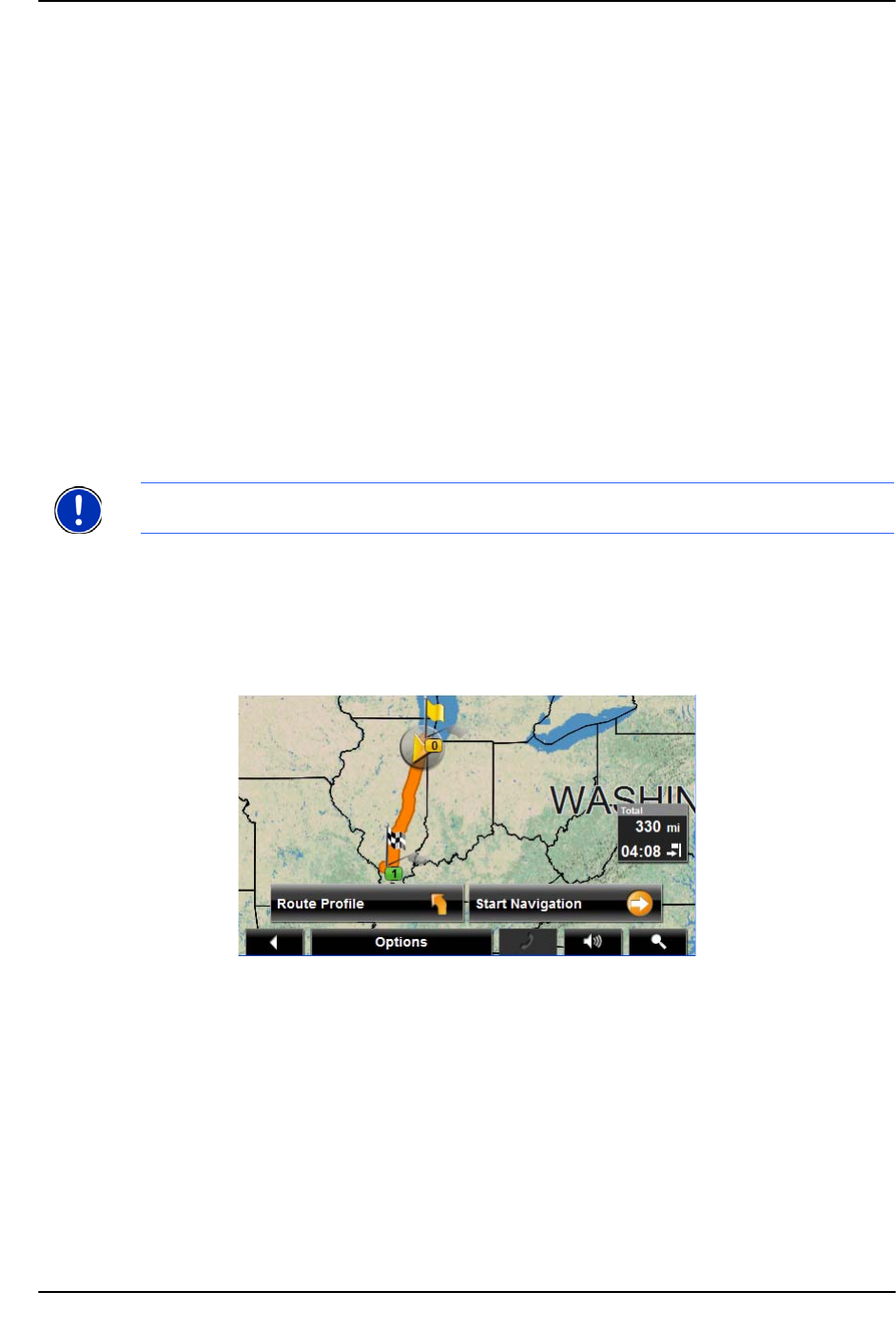
Calculating and displaying routes
On the ROUTE PLANNING WINDOW:
1. Load a saved route.
- OR -
1. Enter a starting point and at least one route point.
2. Tap the
Show Route button.
The map opens in
Preview mode.
The starting point and the route points are marked by flags. For each stage, the
distance and the estimated trip time is given. This information is also displayed for
the entire route.
3. Tap the
Start Navigation button or simply start driving.
Finding POIs at Highway Exits Using the Exit Guide
While traveling on a controlled access highway, you can find POIs (such as gas stations or
lodging) at the next five exits along your route.
1. Create a route or load a previously saved route.
On the R
OUTE PLANNING WINDOW:
2. Tap the Show Route button.
The map opens in
Preview mode and displays the calculated route.
3. Tap the Start Navigation button or start driving.
The map changes to
Navigation mode.
Note: This feature is only available when traveling on controlled access roads, such as
interstate highways.