
Software Instruction Manual
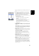
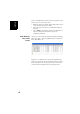
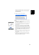
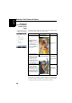
Table Of Contents
- Table of Contents
- Introduction to ProMark Field
- Installing ProMark Field
- Getting Started With ProMark Field
- Creating a New Job
- Importing/Exporting Jobs
- Running a Post-Processed Project
- Using Your Rover in a Real-Time RTK Project
- Changing the Storage Medium for Raw Data Collection
- Initialization
- Logging with Offsets
- Setting an RTK Base
- Installing Geoids
- Adding Background Maps
- E-Compass & External Device
- Index
English
19
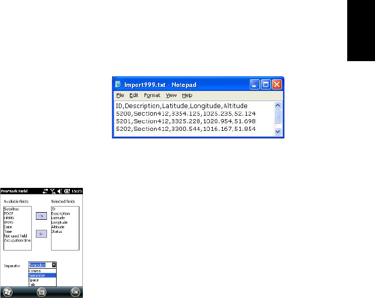
Latitude and longitude should be expressed in degrees
and fraction of a degree, with up to 9 decimal places
(DDD.DDDDDDDDD).
File example using the comma separator:
Follow the instructions below to import a list of points from a
text file:
• Tap Menu > Job > Import. ProMark Field lists all the text
files stored on your platform.
• Tap the name of the text file you would like to import. This
opens a new window on which you can customize the
import function.
• Select the type of information you would like ProMark
Field to pick for each point from the text file. ProMark
Field lists all the fields that it will be able to process once
imported in the job. This list is displayed on the left-hand
side of the window. Use the left arrow to create the list of
fields that ProMark Field will actually import for each
point.
• Indicate which character is used in the text file to be the
field separator. This may be a comma, a semicolon, a
space or a tab.
• Tap OK when you are ready to import the list of points.
When finished, ProMark Field indicates the number of
imported points (number of records).